Development site in Pickering
Introduction
The photograph on this page of Development site in Pickering by Phil Catterall as part of the Geograph project.
The Geograph project started in 2005 with the aim of publishing, organising and preserving representative images for every square kilometre of Great Britain, Ireland and the Isle of Man.

There are currently over 7.5m images from over 14,400 individuals and you can help contribute to the project by visiting https://www.geograph.org.uk
Development site in Pickering
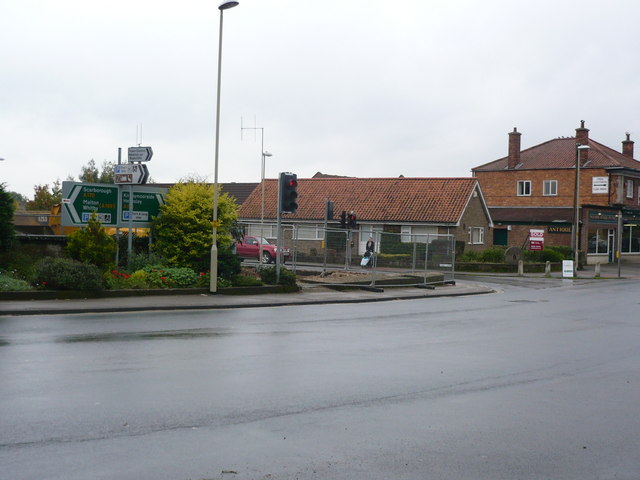
Image: © Phil Catterall Taken: 7 Oct 2008
October 7th 2008 and work is well underway on the former coalyard site near the traffic lights in Pickering. The contractors are preparing the way to build a new supermarket on the site. Previous pictures on Geograph show the house that stood on the corner until September 2008.
Images are licensed for reuse under creativecommons.org/licenses/by-sa/2.0
Image Location
Latitude
54.244253
Longitude
-0.78015