Muds Bank,Stokenchurch
Introduction
The photograph on this page of Muds Bank,Stokenchurch by Andrew Smith as part of the Geograph project.
The Geograph project started in 2005 with the aim of publishing, organising and preserving representative images for every square kilometre of Great Britain, Ireland and the Isle of Man.

There are currently over 7.5m images from over 14,400 individuals and you can help contribute to the project by visiting https://www.geograph.org.uk
Muds Bank,Stokenchurch
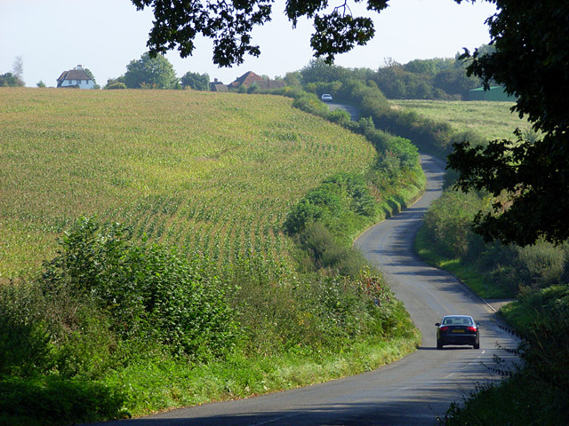
Image: © Andrew Smith Taken: 28 Sep 2008
The fairly busy road heading towards Waterend and Radnage beside a large field of maize.
Images are licensed for reuse under creativecommons.org/licenses/by-sa/2.0
Image Location
Latitude
51.658311
Longitude
-0.876682