Horse trough, Buckingham
Introduction
The photograph on this page of Horse trough, Buckingham by mick finn as part of the Geograph project.
The Geograph project started in 2005 with the aim of publishing, organising and preserving representative images for every square kilometre of Great Britain, Ireland and the Isle of Man.

There are currently over 7.5m images from over 14,400 individuals and you can help contribute to the project by visiting https://www.geograph.org.uk
Horse trough, Buckingham
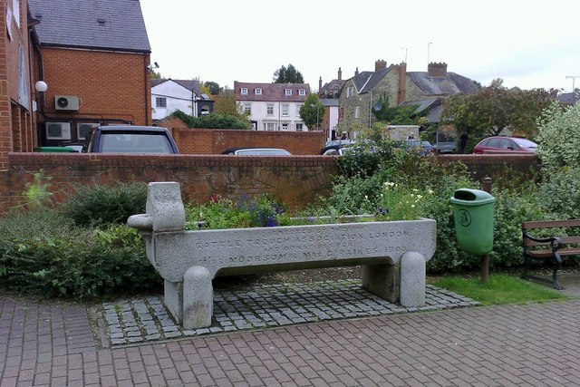
Image: © mick finn Taken: 6 Oct 2008
Horse trough near the Community Centre, Buckingham. The old Masonic Hall can be seen in the middle distance (the white building) and the Grand Junction PH is right of centre.
Images are licensed for reuse under creativecommons.org/licenses/by-sa/2.0
Image Location


Leaflet Map data © OpenStreetMap
Latitude
52.001874
Longitude
-0.986098