Row End, Sowerby Lane, Sowerby
Introduction
The photograph on this page of Row End, Sowerby Lane, Sowerby by Humphrey Bolton as part of the Geograph project.
The Geograph project started in 2005 with the aim of publishing, organising and preserving representative images for every square kilometre of Great Britain, Ireland and the Isle of Man.

There are currently over 7.5m images from over 14,400 individuals and you can help contribute to the project by visiting https://www.geograph.org.uk
Row End, Sowerby Lane, Sowerby
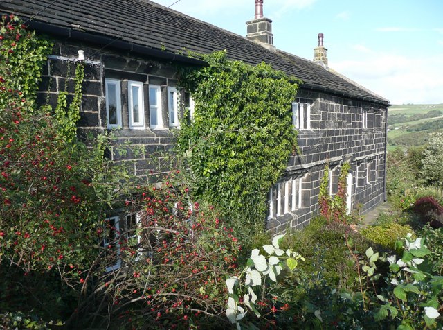
Image: © Humphrey Bolton Taken: 2 Oct 2008
Dated 1627 according to 'Images of England', where the name is given as 'Raw End'. The road is in Sowerby, but the house in Luddenden Foot.
Images are licensed for reuse under creativecommons.org/licenses/by-sa/2.0
Image Location
Latitude
53.717803
Longitude
-1.951473