Pier, Trenchford Reservoir
Introduction
The photograph on this page of Pier, Trenchford Reservoir by Derek Harper as part of the Geograph project.
The Geograph project started in 2005 with the aim of publishing, organising and preserving representative images for every square kilometre of Great Britain, Ireland and the Isle of Man.

There are currently over 7.5m images from over 14,400 individuals and you can help contribute to the project by visiting https://www.geograph.org.uk
Pier, Trenchford Reservoir
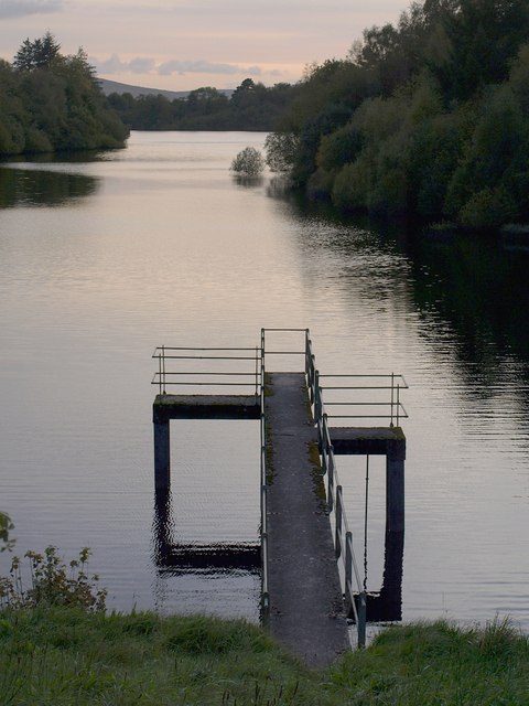
Image: © Derek Harper Taken: 3 Oct 2008
This small pier is at the eastern end of the L-shaped reservoir. The far end protrudes across an easting gridline, so the reservoir beyond is in SX8082. Taken around sunset from the road across the dam separating Tottiford and Trenchford reservoirs.
Images are licensed for reuse under creativecommons.org/licenses/by-sa/2.0
Image Location
Latitude
50.631635
Longitude
-3.683962