Across Kitchen Clough to Slaithwaite
Introduction
The photograph on this page of Across Kitchen Clough to Slaithwaite by Sue Trescott as part of the Geograph project.
The Geograph project started in 2005 with the aim of publishing, organising and preserving representative images for every square kilometre of Great Britain, Ireland and the Isle of Man.

There are currently over 7.5m images from over 14,400 individuals and you can help contribute to the project by visiting https://www.geograph.org.uk
Across Kitchen Clough to Slaithwaite
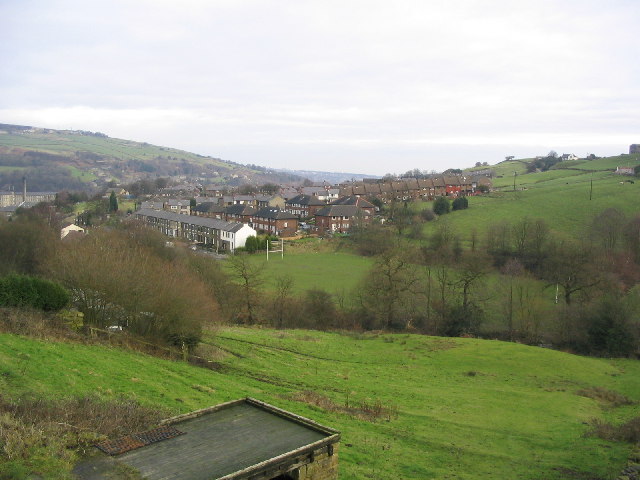
Image: © Sue Trescott Taken: 2 Jan 2006
Looking north east from Varley Road across Kitchen Clough to Slaithwaite, Manchester Road A62 and the River Colne run in the valley behind the houses.
Images are licensed for reuse under creativecommons.org/licenses/by-sa/2.0
Image Location
Latitude
53.61888
Longitude
-1.877511