Three Ways junction near Dockenfield
Introduction
The photograph on this page of Three Ways junction near Dockenfield by Graham Clutton as part of the Geograph project.
The Geograph project started in 2005 with the aim of publishing, organising and preserving representative images for every square kilometre of Great Britain, Ireland and the Isle of Man.

There are currently over 7.5m images from over 14,400 individuals and you can help contribute to the project by visiting https://www.geograph.org.uk
Three Ways junction near Dockenfield
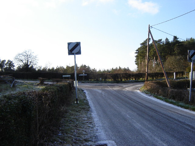
Image: © Graham Clutton Taken: 28 Dec 2005
There is very little in this square except woods and this junction
Images are licensed for reuse under creativecommons.org/licenses/by-sa/2.0
Image Location


Leaflet Map data © OpenStreetMap
Latitude
51.158815
Longitude
-0.831652