Gourdie
Introduction
The photograph on this page of Gourdie by Jim Bain as part of the Geograph project.
The Geograph project started in 2005 with the aim of publishing, organising and preserving representative images for every square kilometre of Great Britain, Ireland and the Isle of Man.

There are currently over 7.5m images from over 14,400 individuals and you can help contribute to the project by visiting https://www.geograph.org.uk
Gourdie
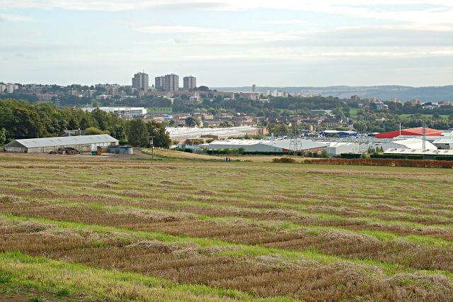
Image: © Jim Bain Taken: 6 Oct 2008
Gourdie Crop Research Station with the Charleston and Menzieshill districts on the wester edge of Dundee in the background.
Images are licensed for reuse under creativecommons.org/licenses/by-sa/2.0
Image Location
Latitude
56.476585
Longitude
-3.048216