Bent Lane Crossroads
Introduction
The photograph on this page of Bent Lane Crossroads by Roger May as part of the Geograph project.
The Geograph project started in 2005 with the aim of publishing, organising and preserving representative images for every square kilometre of Great Britain, Ireland and the Isle of Man.

There are currently over 7.5m images from over 14,400 individuals and you can help contribute to the project by visiting https://www.geograph.org.uk
Bent Lane Crossroads
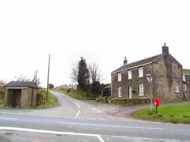
Image: © Roger May Taken: 2 Jan 2006
Intersection on the B6106 Penistone Road at the top of Bent Lane, which comes up from Hepworth. Take your pick of Geograph category: Bus-shelter, postbox, crossroads, farmhouse...
Images are licensed for reuse under creativecommons.org/licenses/by-sa/2.0
Image Location


Leaflet Map data © OpenStreetMap
Latitude
53.541406
Longitude
-1.761542