A Better View of the Wind Turbine
Introduction
The photograph on this page of A Better View of the Wind Turbine by Robert Lamb as part of the Geograph project.
The Geograph project started in 2005 with the aim of publishing, organising and preserving representative images for every square kilometre of Great Britain, Ireland and the Isle of Man.

There are currently over 7.5m images from over 14,400 individuals and you can help contribute to the project by visiting https://www.geograph.org.uk
A Better View of the Wind Turbine
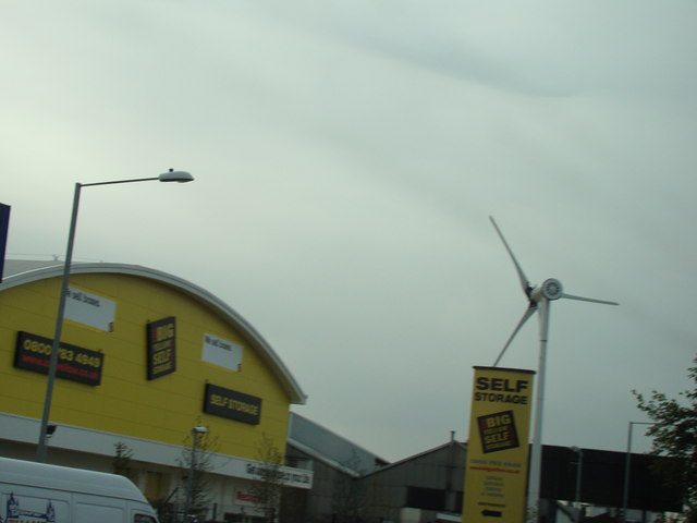
Image: © Robert Lamb Taken: 4 Oct 2008
This is a better view of the new wind turbine on the Roding Trading Estate, taken from the opposite carriageway of the A406 to my previous image. Also in shot is the Big Yellow Storage unit, which looks to be the owner of the turbine judging by its location.
Images are licensed for reuse under creativecommons.org/licenses/by-sa/2.0
Image Location
Latitude
51.539535
Longitude
0.068358