Oakfield House
Introduction
The photograph on this page of Oakfield House by David Stowell as part of the Geograph project.
The Geograph project started in 2005 with the aim of publishing, organising and preserving representative images for every square kilometre of Great Britain, Ireland and the Isle of Man.

There are currently over 7.5m images from over 14,400 individuals and you can help contribute to the project by visiting https://www.geograph.org.uk
Oakfield House
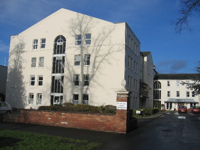
Image: © David Stowell Taken: 31 Dec 2005
A large development of flats which replaced a couple of the former large houses on Binswood Avenue.
Images are licensed for reuse under creativecommons.org/licenses/by-sa/2.0
Image Location


Leaflet Map data © OpenStreetMap
Latitude
52.295713
Longitude
-1.53514