Church of the Good Shepherd, Dockenfield
Introduction
The photograph on this page of Church of the Good Shepherd, Dockenfield by Graham Clutton as part of the Geograph project.
The Geograph project started in 2005 with the aim of publishing, organising and preserving representative images for every square kilometre of Great Britain, Ireland and the Isle of Man.

There are currently over 7.5m images from over 14,400 individuals and you can help contribute to the project by visiting https://www.geograph.org.uk
Church of the Good Shepherd, Dockenfield
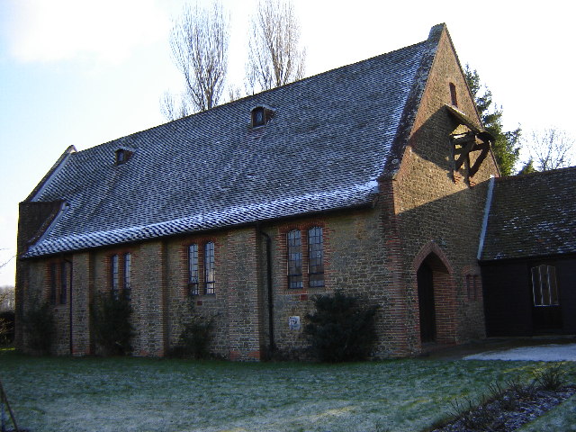
Image: © Graham Clutton Taken: 28 Dec 2005
Dockenfield is a ribbon like village with a main street which goes up and down a number of hills. No shops though.
Images are licensed for reuse under creativecommons.org/licenses/by-sa/2.0
Image Location


Leaflet Map data © OpenStreetMap
Latitude
51.15783
Longitude
-0.823097