Afon Crafnant
Introduction
The photograph on this page of Afon Crafnant by Jonathan Wilkins as part of the Geograph project.
The Geograph project started in 2005 with the aim of publishing, organising and preserving representative images for every square kilometre of Great Britain, Ireland and the Isle of Man.

There are currently over 7.5m images from over 14,400 individuals and you can help contribute to the project by visiting https://www.geograph.org.uk
Afon Crafnant
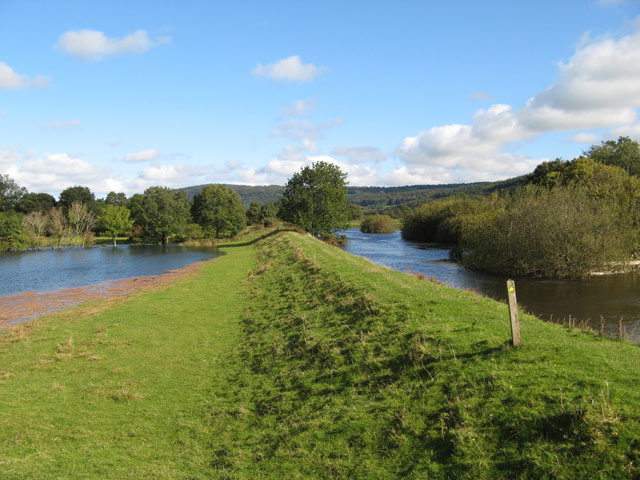
Image: © Jonathan Wilkins Taken: 5 Oct 2008
Flooding in the Conwy valley is an ever-present risk, so the Afon Crafnant is constrained between high banks at this point. Footpaths run along all of the banks here, making an interesting circuit from the village. A mat of floating debris has been blown to one end of the field flooded by an overnight downpour.
Images are licensed for reuse under creativecommons.org/licenses/by-sa/2.0
Image Location


Leaflet Map data © OpenStreetMap
Latitude
53.154476
Longitude
-3.823215