Crow Hill Road, Sowerby
Introduction
The photograph on this page of Crow Hill Road, Sowerby by Humphrey Bolton as part of the Geograph project.
The Geograph project started in 2005 with the aim of publishing, organising and preserving representative images for every square kilometre of Great Britain, Ireland and the Isle of Man.

There are currently over 7.5m images from over 14,400 individuals and you can help contribute to the project by visiting https://www.geograph.org.uk
Crow Hill Road, Sowerby
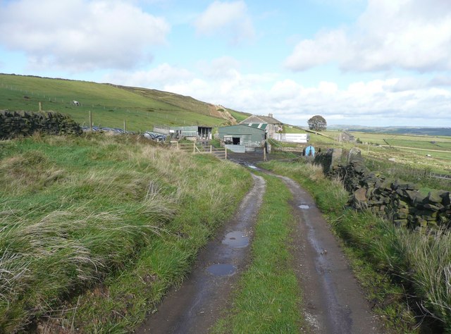
Image: © Humphrey Bolton Taken: 2 Oct 2008
My old 'Outdoor Leisure' map doesn't show this as a right-of-way, so as it goes through a farmyard with a dog approaching with a 'make my day' look about it I played safe and went round a different way. However I now know that it is Sowerby Bridge bridleway 171. It can be seen climbing the shoulder of Crow Hill beyond the farm.
Images are licensed for reuse under creativecommons.org/licenses/by-sa/2.0
Image Location
Latitude
53.699833
Longitude
-1.972699