The Fells
Introduction
The photograph on this page of The Fells by Mick Devine as part of the Geograph project.
The Geograph project started in 2005 with the aim of publishing, organising and preserving representative images for every square kilometre of Great Britain, Ireland and the Isle of Man.

There are currently over 7.5m images from over 14,400 individuals and you can help contribute to the project by visiting https://www.geograph.org.uk
The Fells
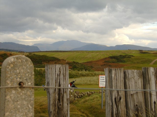
Image: © Mick Devine Taken: 25 Oct 2007
A view from the Seascale Cinder path looking towards Scafell with the Railway sleepers alongside the path and West Coast Railway Line
Images are licensed for reuse under creativecommons.org/licenses/by-sa/2.0
Image Location
Latitude
54.399786
Longitude
-3.487964