Footpath to West Clandon Church
Introduction
The photograph on this page of Footpath to West Clandon Church by Colin Smith as part of the Geograph project.
The Geograph project started in 2005 with the aim of publishing, organising and preserving representative images for every square kilometre of Great Britain, Ireland and the Isle of Man.

There are currently over 7.5m images from over 14,400 individuals and you can help contribute to the project by visiting https://www.geograph.org.uk
Footpath to West Clandon Church
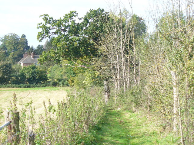
Image: © Colin Smith Taken: 4 Oct 2008
Heading east from Clandon Regis golf course towards the medieval church. The tower is visible through the trees, left of centre. The path is grassy, little used, and has good views northwards, across the field, to the North Downs.
Images are licensed for reuse under creativecommons.org/licenses/by-sa/2.0
Image Location
Latitude
51.251901
Longitude
-0.50144