Chimney pots and satellite dish, Burgess Road
Introduction
The photograph on this page of Chimney pots and satellite dish, Burgess Road by Jim Champion as part of the Geograph project.
The Geograph project started in 2005 with the aim of publishing, organising and preserving representative images for every square kilometre of Great Britain, Ireland and the Isle of Man.

There are currently over 7.5m images from over 14,400 individuals and you can help contribute to the project by visiting https://www.geograph.org.uk
Chimney pots and satellite dish, Burgess Road
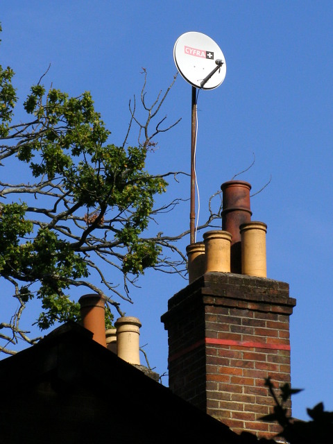
Image: © Jim Champion Taken: 27 Sep 2008
This is the rooftop furniture of a house on the south side of Burgess Road. It backs onto the northern edge of Southampton Common, and the 'shadow' of the tall beech and oak trees require this satellite dish to be mounted on a lofty pole.
Images are licensed for reuse under creativecommons.org/licenses/by-sa/2.0
Image Location
Latitude
50.934761
Longitude
-1.410791