Westbury Road, Penhill, Swindon
Introduction
The photograph on this page of Westbury Road, Penhill, Swindon by Brian Robert Marshall as part of the Geograph project.
The Geograph project started in 2005 with the aim of publishing, organising and preserving representative images for every square kilometre of Great Britain, Ireland and the Isle of Man.

There are currently over 7.5m images from over 14,400 individuals and you can help contribute to the project by visiting https://www.geograph.org.uk
Westbury Road, Penhill, Swindon
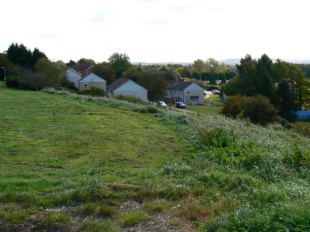
Image: © Brian Robert Marshall Taken: 3 Oct 2008
Westbury Road is marked by the houses in the centre of the image. They are part of the 1950s local authority housing estate of Penhill. On the right skyline is Liddington Hill in SU2180.
Images are licensed for reuse under creativecommons.org/licenses/by-sa/2.0
Image Location
Latitude
51.591376
Longitude
-1.786458