East end, Churston church
Introduction
The photograph on this page of East end, Churston church by Derek Harper as part of the Geograph project.
The Geograph project started in 2005 with the aim of publishing, organising and preserving representative images for every square kilometre of Great Britain, Ireland and the Isle of Man.

There are currently over 7.5m images from over 14,400 individuals and you can help contribute to the project by visiting https://www.geograph.org.uk
East end, Churston church
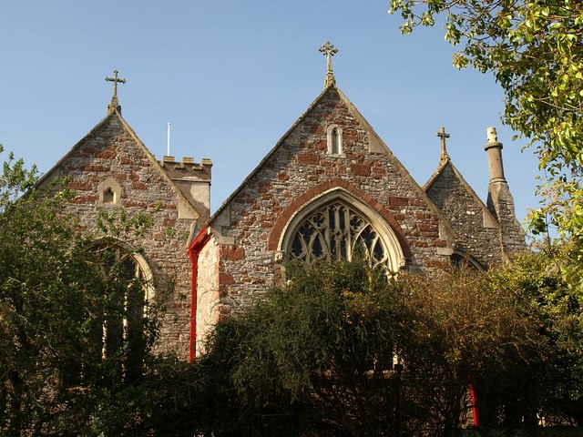
Image: © Derek Harper Taken: 28 Sep 2008
A view of Image from the lane by the adjacent farm, showing the three separate roofs for the nave and two aisles, and the mixture of sandstone and limestone used in the construction.
Images are licensed for reuse under creativecommons.org/licenses/by-sa/2.0
Image Location


Leaflet Map data © OpenStreetMap
Latitude
50.397416
Longitude
-3.542963