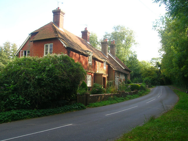
Longback Cottages, Water Lane
Introduction
The photograph on this page of Longback Cottages, Water Lane by Simon Carey as part of the Geograph project.
The Geograph project started in 2005 with the aim of publishing, organising and preserving representative images for every square kilometre of Great Britain, Ireland and the Isle of Man.
There are currently over 7.5m images from over 14,400 individuals and you can help contribute to the project by visiting https://www.geograph.org.uk

Image: © Simon Carey Taken: 2 Oct 2008
A terrace of 19th century cottages near to Wiston Post Office and tearooms. Water Lane follows the course of an old Roman road that ran from Chanctonbury Ring which contained a Roman temple and joined the Upper Greensand Way which ran from Pevensey to Hardham on Stane Street. The lane itself is a bit of a rat run today for those wishing to take a shortcut between the A24 at Ashington and A283 to the south at Buncton Crossways.

