Spithandle Lane
Introduction
The photograph on this page of Spithandle Lane by Simon Carey as part of the Geograph project.
The Geograph project started in 2005 with the aim of publishing, organising and preserving representative images for every square kilometre of Great Britain, Ireland and the Isle of Man.

There are currently over 7.5m images from over 14,400 individuals and you can help contribute to the project by visiting https://www.geograph.org.uk
Spithandle Lane
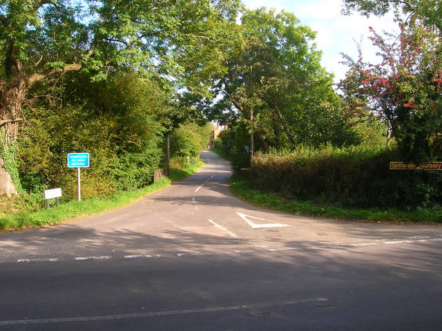
Image: © Simon Carey Taken: 2 Oct 2008
Narrow and winding lane that links Water Lane at Wiston with the B2135 at Horsebridge Common. Taken from the junction with Water Lane.
Images are licensed for reuse under creativecommons.org/licenses/by-sa/2.0
Image Location
Latitude
50.915929
Longitude
-0.373551