Upper Chancton Farm
Introduction
The photograph on this page of Upper Chancton Farm by Simon Carey as part of the Geograph project.
The Geograph project started in 2005 with the aim of publishing, organising and preserving representative images for every square kilometre of Great Britain, Ireland and the Isle of Man.

There are currently over 7.5m images from over 14,400 individuals and you can help contribute to the project by visiting https://www.geograph.org.uk
Upper Chancton Farm
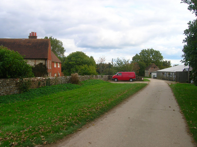
Image: © Simon Carey Taken: 2 Oct 2008
An 18th century farmhouse and a number of outbuildings some of which seem to be let as small workshops. The manor of Chancton was part of Washington parish though the original manor house was believed to be on the site of Lower Chancton Farm to the south. The drive forms part of the footpath to Wiston.
Images are licensed for reuse under creativecommons.org/licenses/by-sa/2.0
Image Location
Latitude
50.917769
Longitude
-0.389563