2008 : In the valley of the Cam Brook near Camerton
Introduction
The photograph on this page of 2008 : In the valley of the Cam Brook near Camerton by Maurice Pullin as part of the Geograph project.
The Geograph project started in 2005 with the aim of publishing, organising and preserving representative images for every square kilometre of Great Britain, Ireland and the Isle of Man.

There are currently over 7.5m images from over 14,400 individuals and you can help contribute to the project by visiting https://www.geograph.org.uk
2008 : In the valley of the Cam Brook near Camerton
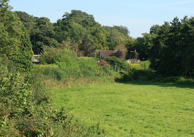
Image: © Maurice Pullin Taken: 20 Sep 2008
The northern arm of the Somerset Coal Canal ran near this spot doing much to open up the North Somerset coalfield in this area.
Images are licensed for reuse under creativecommons.org/licenses/by-sa/2.0
Image Location
Latitude
51.318937
Longitude
-2.46114