2008 : Cycleway to Chippenham town centre
Introduction
The photograph on this page of 2008 : Cycleway to Chippenham town centre by Maurice Pullin as part of the Geograph project.
The Geograph project started in 2005 with the aim of publishing, organising and preserving representative images for every square kilometre of Great Britain, Ireland and the Isle of Man.

There are currently over 7.5m images from over 14,400 individuals and you can help contribute to the project by visiting https://www.geograph.org.uk
2008 : Cycleway to Chippenham town centre
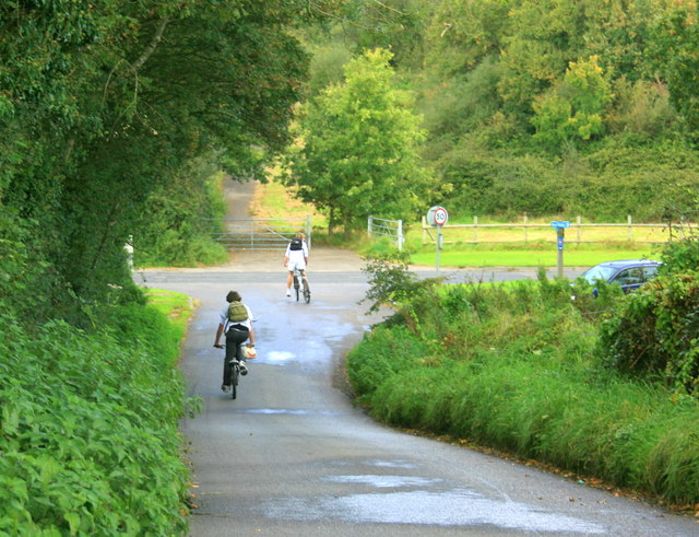
Image: © Maurice Pullin Taken: 2 Oct 2008
The road at the bottom of the hill is part of the Chippenham bypass. This section was built on the line of the Chippenham arm of the Wilts.& Berks Canal.
Images are licensed for reuse under creativecommons.org/licenses/by-sa/2.0
Image Location


Leaflet Map data © OpenStreetMap
Latitude
51.442985
Longitude
-2.104122