Bridleway near Washington Limekilns
Introduction
The photograph on this page of Bridleway near Washington Limekilns by Simon Carey as part of the Geograph project.
The Geograph project started in 2005 with the aim of publishing, organising and preserving representative images for every square kilometre of Great Britain, Ireland and the Isle of Man.

There are currently over 7.5m images from over 14,400 individuals and you can help contribute to the project by visiting https://www.geograph.org.uk
Bridleway near Washington Limekilns
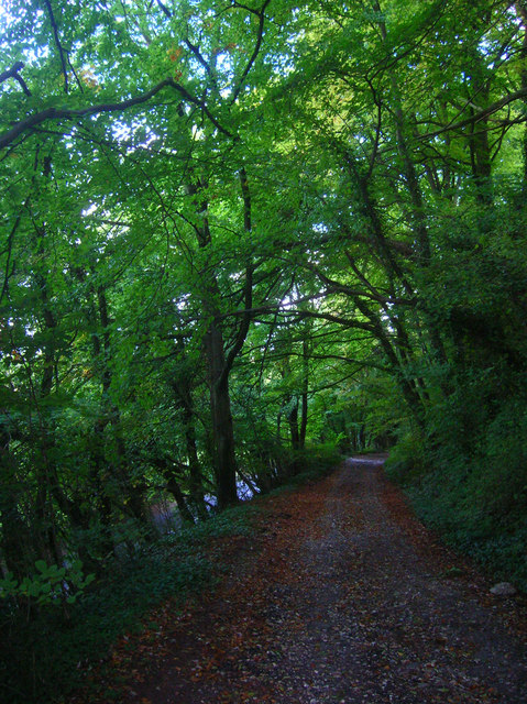
Image: © Simon Carey Taken: 2 Oct 2008
The bridleway is the course of the ancient route over the Downs heading to Washington from the south. It was replaced by the road below to the left in the first decade of the 19th century. The track later became the access route to the limekilns further up and Elbourne House built in 1850.
Images are licensed for reuse under creativecommons.org/licenses/by-sa/2.0
Image Location


Leaflet Map data © OpenStreetMap
Latitude
50.899779
Longitude
-0.408956