Ardfour and Netherdale
Introduction
The photograph on this page of Ardfour and Netherdale by Anne Burgess as part of the Geograph project.
The Geograph project started in 2005 with the aim of publishing, organising and preserving representative images for every square kilometre of Great Britain, Ireland and the Isle of Man.

There are currently over 7.5m images from over 14,400 individuals and you can help contribute to the project by visiting https://www.geograph.org.uk
Ardfour and Netherdale
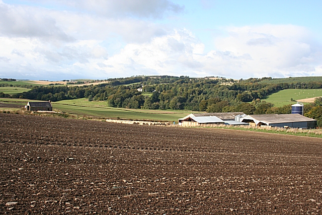
Image: © Anne Burgess Taken: 2 Oct 2008
Ardfour is above the right bank of the River Deveron, with a fine view to the north-west to Netherdale House, which is just visible among the trees above the left bank.
Images are licensed for reuse under creativecommons.org/licenses/by-sa/2.0
Image Location
Latitude
57.519222
Longitude
-2.578777