Mercer Street and Gregg Street, Lisburn
Introduction
The photograph on this page of Mercer Street and Gregg Street, Lisburn by Albert Bridge as part of the Geograph project.
The Geograph project started in 2005 with the aim of publishing, organising and preserving representative images for every square kilometre of Great Britain, Ireland and the Isle of Man.

There are currently over 7.5m images from over 14,400 individuals and you can help contribute to the project by visiting https://www.geograph.org.uk
Mercer Street and Gregg Street, Lisburn
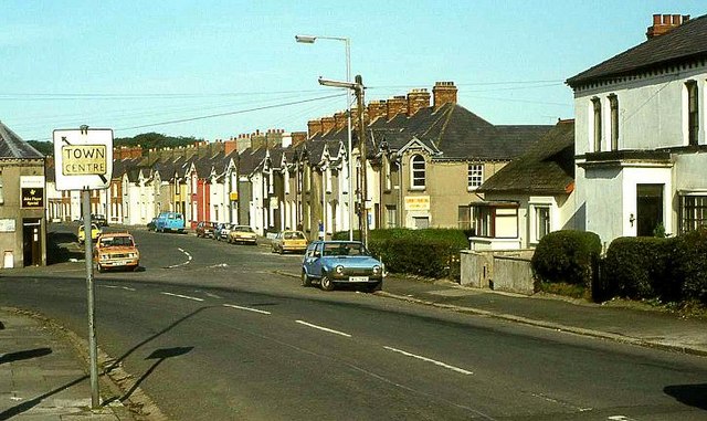
Image: © Albert Bridge Taken: 11 Sep 1982
Mercer Street (right to left in the foreground) and Gregg Street, in the days before Lisburn became a city (note the pre-Worboys sign “Town Centre” at middle left). This is the Co Down side of the Lagan although the postal address of Lisburn is Co Antrim.
Images are licensed for reuse under creativecommons.org/licenses/by-sa/2.0
Image Location
Latitude
54.51036
Longitude
-6.033146