Maybole Community Fire Station
Introduction
The photograph on this page of Maybole Community Fire Station by Mary and Angus Hogg as part of the Geograph project.
The Geograph project started in 2005 with the aim of publishing, organising and preserving representative images for every square kilometre of Great Britain, Ireland and the Isle of Man.

There are currently over 7.5m images from over 14,400 individuals and you can help contribute to the project by visiting https://www.geograph.org.uk
Maybole Community Fire Station
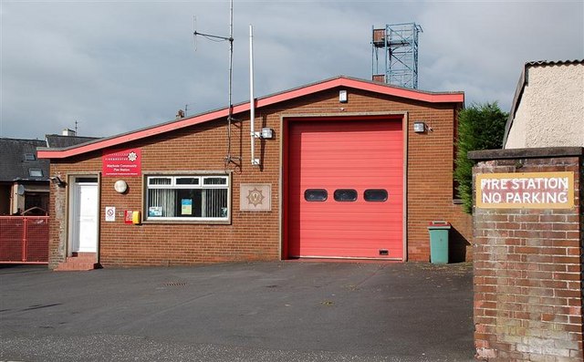
Image: © Mary and Angus Hogg Taken: 2 Oct 2008
A retained crew of firefighters operates from this base.
Images are licensed for reuse under creativecommons.org/licenses/by-sa/2.0
Image Location
Latitude
55.353112
Longitude
-4.685494