Bullers Arms, Landrake
Introduction
The photograph on this page of Bullers Arms, Landrake by Kevin Hale as part of the Geograph project.
The Geograph project started in 2005 with the aim of publishing, organising and preserving representative images for every square kilometre of Great Britain, Ireland and the Isle of Man.

There are currently over 7.5m images from over 14,400 individuals and you can help contribute to the project by visiting https://www.geograph.org.uk
Bullers Arms, Landrake
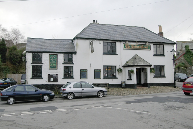
Image: © Kevin Hale Taken: 1 Jan 2006
The Bullers Arms, Landrake, lies on what used to be the main A38 road into Cornwall. Fortunately for the residents, the village was bypassed many years ago.
Images are licensed for reuse under creativecommons.org/licenses/by-sa/2.0
Image Location


Leaflet Map data © OpenStreetMap
Latitude
50.422303
Longitude
-4.290057