The Brewhouse
Introduction
The photograph on this page of The Brewhouse by John Lucas as part of the Geograph project.
The Geograph project started in 2005 with the aim of publishing, organising and preserving representative images for every square kilometre of Great Britain, Ireland and the Isle of Man.

There are currently over 7.5m images from over 14,400 individuals and you can help contribute to the project by visiting https://www.geograph.org.uk
The Brewhouse
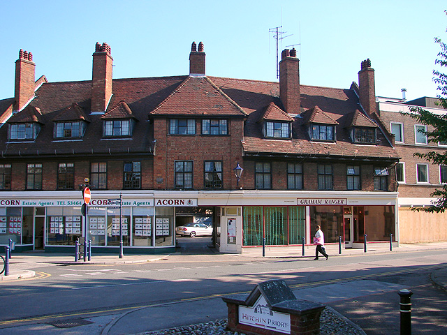
Image: © John Lucas Taken: 21 Sep 2006
On the corner of Sun Street and Bridge Street and built in 1780, this was the home of several members of the Lucas brewing family who called it "The Brewhouse". The brewery itself was on the right of the house, but was closed in the early twenties. Crown House, a government tax office, was built on the site of the brewery in the 1960's. This in turn was closed and the boarded site was awaiting redevelopment as apartments in this 2006 view.
Images are licensed for reuse under creativecommons.org/licenses/by-sa/2.0
Image Location
Latitude
51.945827
Longitude
-0.278799