Slade Lane, Rastrick
Introduction
The photograph on this page of Slade Lane, Rastrick by Humphrey Bolton as part of the Geograph project.
The Geograph project started in 2005 with the aim of publishing, organising and preserving representative images for every square kilometre of Great Britain, Ireland and the Isle of Man.

There are currently over 7.5m images from over 14,400 individuals and you can help contribute to the project by visiting https://www.geograph.org.uk
Slade Lane, Rastrick
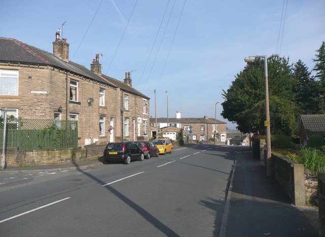
Image: © Humphrey Bolton Taken: 20 Sep 2008
This is the western side of the lower end of the road, with 19C houses built on Green Piece at about the same time as those along Garlick Street.
Images are licensed for reuse under creativecommons.org/licenses/by-sa/2.0
Image Location
Latitude
53.684385
Longitude
-1.797074