Stonelea Drive, Crowtrees Lane, Rastrick
Introduction
The photograph on this page of Stonelea Drive, Crowtrees Lane, Rastrick by Humphrey Bolton as part of the Geograph project.
The Geograph project started in 2005 with the aim of publishing, organising and preserving representative images for every square kilometre of Great Britain, Ireland and the Isle of Man.

There are currently over 7.5m images from over 14,400 individuals and you can help contribute to the project by visiting https://www.geograph.org.uk
Stonelea Drive, Crowtrees Lane, Rastrick
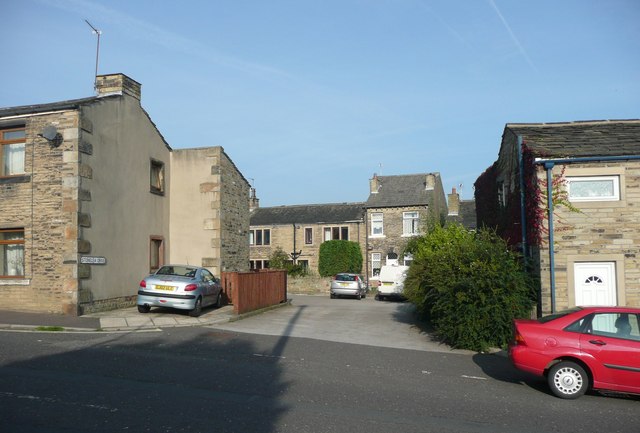
Image: © Humphrey Bolton Taken: 20 Sep 2008
Although it leads to old houses, this is a modern street. The houses were on Delf Road, off Delf Hill, but that access was closed off and replaced by this one, presumably on road safety grounds.
Images are licensed for reuse under creativecommons.org/licenses/by-sa/2.0
Image Location
Latitude
53.685284
Longitude
-1.79707