Okebourne Park, Swindon
Introduction
The photograph on this page of Okebourne Park, Swindon by Brian Robert Marshall as part of the Geograph project.
The Geograph project started in 2005 with the aim of publishing, organising and preserving representative images for every square kilometre of Great Britain, Ireland and the Isle of Man.

There are currently over 7.5m images from over 14,400 individuals and you can help contribute to the project by visiting https://www.geograph.org.uk
Okebourne Park, Swindon
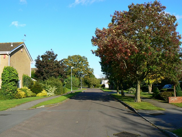
Image: © Brian Robert Marshall Taken: 1 Oct 2008
This is the northern section of Okebourne Park, a small area of individually designed residential properties that date back to the early 1970s. The history is this. In the late 1960s the then Swindon Borough Council needed land upon which to expand in order to meet the increasing demand for housing and commerce. Accordingly it took over the area known as Dorcan to the east of the Borough that was then mostly farmland in the administrative area of the now defunct Highworth Rural District Council (all RDCs ceased to exist in April 1974 following local government re-organization). The area was very roughly 600 hectares (1482 acres) in size. Whilst most of the area devoted to housing was developed either by the Council or private sector building firms this part was sold in plots to individuals who could then build houses to their own design (subject to planning permission).
Images are licensed for reuse under creativecommons.org/licenses/by-sa/2.0
Image Location


Leaflet Map data © OpenStreetMap
Latitude
51.547308
Longitude
-1.736911