A pair of red-brick cottages
Introduction
The photograph on this page of A pair of red-brick cottages by Evelyn Simak as part of the Geograph project.
The Geograph project started in 2005 with the aim of publishing, organising and preserving representative images for every square kilometre of Great Britain, Ireland and the Isle of Man.

There are currently over 7.5m images from over 14,400 individuals and you can help contribute to the project by visiting https://www.geograph.org.uk
A pair of red-brick cottages
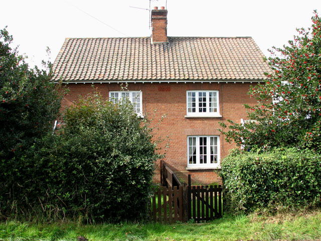
Image: © Evelyn Simak Taken: 1 Oct 2008
Of the three properties along this section of Great Snoring Road these cottages are located between the house on the corner > http://www.geograph.org.uk/photo/988921 and a pair of smaller cottages adjoining in the south > http://www.geograph.org.uk/photo/988946. A date stone indicates that they were built in 1911. See also > http://www.geograph.org.uk/photo/988928.
Images are licensed for reuse under creativecommons.org/licenses/by-sa/2.0
Image Location
Latitude
52.845511
Longitude
0.871862