Thorpland Cottages
Introduction
The photograph on this page of Thorpland Cottages by Evelyn Simak as part of the Geograph project.
The Geograph project started in 2005 with the aim of publishing, organising and preserving representative images for every square kilometre of Great Britain, Ireland and the Isle of Man.

There are currently over 7.5m images from over 14,400 individuals and you can help contribute to the project by visiting https://www.geograph.org.uk
Thorpland Cottages
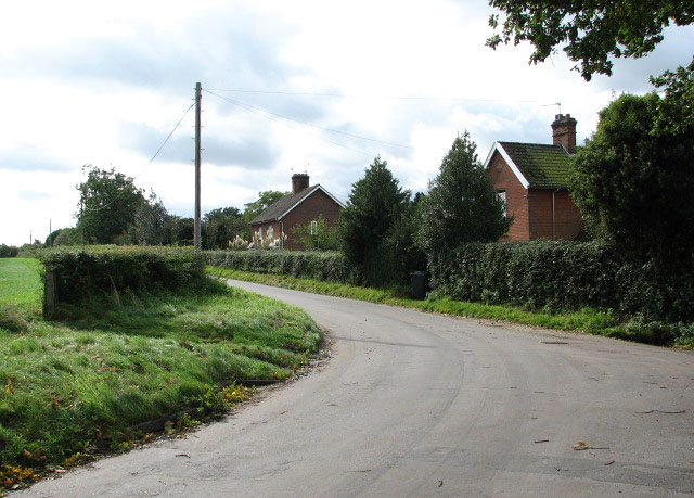
Image: © Evelyn Simak Taken: 1 Oct 2008
View south along Great Snoring Road which connects with the A148 > http://www.geograph.org.uk/photo/988885 a short distance further south. Here it passes Thorpland Cottages.
Images are licensed for reuse under creativecommons.org/licenses/by-sa/2.0
Image Location
Latitude
52.845515
Longitude
0.871714