Great Snoring Road
Introduction
The photograph on this page of Great Snoring Road by Evelyn Simak as part of the Geograph project.
The Geograph project started in 2005 with the aim of publishing, organising and preserving representative images for every square kilometre of Great Britain, Ireland and the Isle of Man.

There are currently over 7.5m images from over 14,400 individuals and you can help contribute to the project by visiting https://www.geograph.org.uk
Great Snoring Road
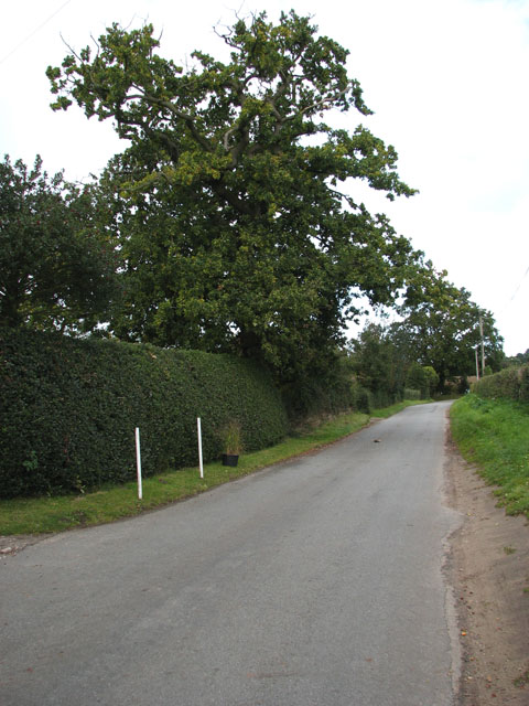
Image: © Evelyn Simak Taken: 1 Oct 2008
Great Snoring Road turns off the A148 > http://www.geograph.org.uk/photo/988885 and leads to the village of Great Snoring, further to the northeast. Here it runs past Thorpland Cottages which are obscured from view by the hedge seen at left.
Images are licensed for reuse under creativecommons.org/licenses/by-sa/2.0
Image Location
Latitude
52.845867
Longitude
0.872034