Cycleway at Whiteinch
Introduction
The photograph on this page of Cycleway at Whiteinch by A-M-Jervis as part of the Geograph project.
The Geograph project started in 2005 with the aim of publishing, organising and preserving representative images for every square kilometre of Great Britain, Ireland and the Isle of Man.

There are currently over 7.5m images from over 14,400 individuals and you can help contribute to the project by visiting https://www.geograph.org.uk
Cycleway at Whiteinch
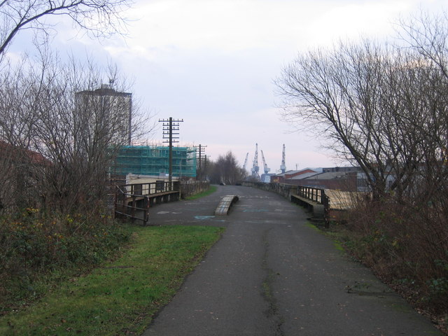
Image: © A-M-Jervis Taken: 15 Dec 2007
"Dead" telegraph poles line the route as the tarmac of the Glasgow to Loch Lomond cycleway widens out across the Edzell Street and (in the background) Jordan Street underbridges at Whiteinch and new blocks of low-rise flats herald residential regeneration. In the far background four dockside cranes are now a relative rarity on Glasgow's Clydeside quays.
Images are licensed for reuse under creativecommons.org/licenses/by-sa/2.0
Image Location


Leaflet Map data © OpenStreetMap
Latitude
55.872827
Longitude
-4.338714