Lower Heyford canal bridge
Introduction
The photograph on this page of Lower Heyford canal bridge by Chris Cox as part of the Geograph project.
The Geograph project started in 2005 with the aim of publishing, organising and preserving representative images for every square kilometre of Great Britain, Ireland and the Isle of Man.

There are currently over 7.5m images from over 14,400 individuals and you can help contribute to the project by visiting https://www.geograph.org.uk
Lower Heyford canal bridge
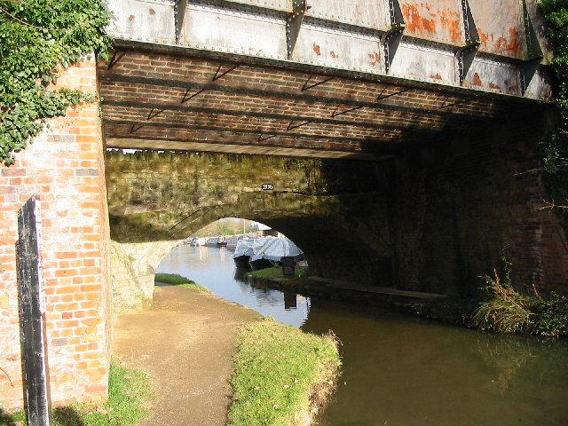
Image: © Chris Cox Taken: 24 Dec 2005
Nearer road bridge 206 and original bridge, now a footbridge behind Views through of Heyford Wharf Rail road bridge to left of photo Entire road bridge now subject to weight limit and may be replaced in due course
Images are licensed for reuse under creativecommons.org/licenses/by-sa/2.0
Image Location


Leaflet Map data © OpenStreetMap
Latitude
51.917848
Longitude
-1.300599