High Gillerthwaite Youth Hostel
Introduction
The photograph on this page of High Gillerthwaite Youth Hostel by Bob Jenkins as part of the Geograph project.
The Geograph project started in 2005 with the aim of publishing, organising and preserving representative images for every square kilometre of Great Britain, Ireland and the Isle of Man.

There are currently over 7.5m images from over 14,400 individuals and you can help contribute to the project by visiting https://www.geograph.org.uk
High Gillerthwaite Youth Hostel
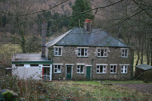
Image: © Bob Jenkins Taken: 1 Jan 2006
Vehicular access up the valley of Ennerdale is banned for the public, but, paradoxically, allowed for Youth Hostellers. The YHA used to ban travel to their establishments by car.
Images are licensed for reuse under creativecommons.org/licenses/by-sa/2.0
Image Location
Latitude
54.514909
Longitude
-3.326854