Watercress Line Cutting
Introduction
The photograph on this page of Watercress Line Cutting by Graham Clutton as part of the Geograph project.
The Geograph project started in 2005 with the aim of publishing, organising and preserving representative images for every square kilometre of Great Britain, Ireland and the Isle of Man.

There are currently over 7.5m images from over 14,400 individuals and you can help contribute to the project by visiting https://www.geograph.org.uk
Watercress Line Cutting
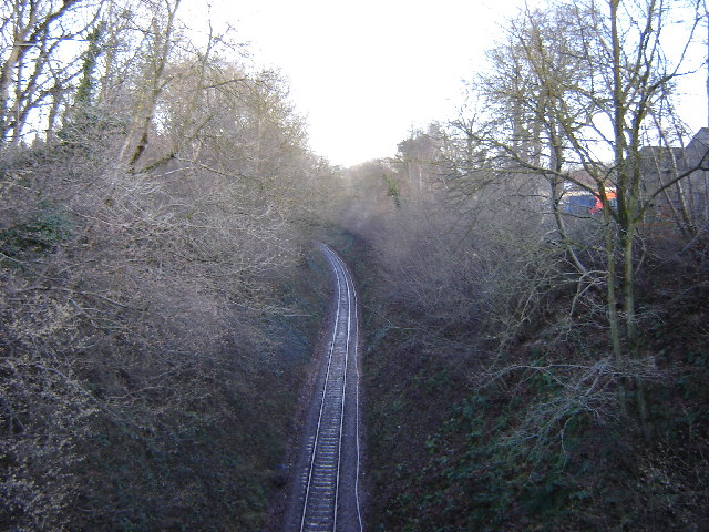
Image: © Graham Clutton Taken: 31 Dec 2005
This cutting is on the 1 in 60 gradient from Alton to Four Marks. It has been known to almost bring a train to a stand from slipping on the wet rails. The railway men know this area as 'the Alps'
Images are licensed for reuse under creativecommons.org/licenses/by-sa/2.0
Image Location
Latitude
51.11486
Longitude
-1.041345