Farmland South of Corley Moor
Introduction
The photograph on this page of Farmland South of Corley Moor by John Winterbottom as part of the Geograph project.
The Geograph project started in 2005 with the aim of publishing, organising and preserving representative images for every square kilometre of Great Britain, Ireland and the Isle of Man.

There are currently over 7.5m images from over 14,400 individuals and you can help contribute to the project by visiting https://www.geograph.org.uk
Farmland South of Corley Moor
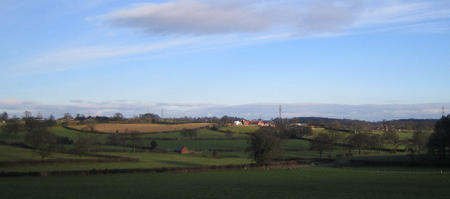
Image: © John Winterbottom Taken: 1 Jan 2006
The white building in the centre of the skyline is at Tidbury Castle Farm. The line of pylons in the distance can also be seen from SP2881.
Images are licensed for reuse under creativecommons.org/licenses/by-sa/2.0
Image Location


Leaflet Map data © OpenStreetMap
Latitude
52.456813
Longitude
-1.58201