Aerial view towards Cressex Schools
Introduction
The photograph on this page of Aerial view towards Cressex Schools by Stanley Howe as part of the Geograph project.
The Geograph project started in 2005 with the aim of publishing, organising and preserving representative images for every square kilometre of Great Britain, Ireland and the Isle of Man.

There are currently over 7.5m images from over 14,400 individuals and you can help contribute to the project by visiting https://www.geograph.org.uk
Aerial view towards Cressex Schools
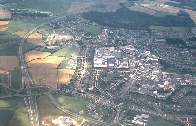
Image: © Stanley Howe Taken: 8 Sep 1974
Junction 4 on the M40 is bottom left, with exits to Marlow and High Wycombe. Viewed from a TWA flight from LHR to Chicago O'Hare over the A404.
Images are licensed for reuse under creativecommons.org/licenses/by-sa/2.0
Image Location
Latitude
51.618615
Longitude
-0.773518