Bourne Lane joins the High Street, Twyford
Introduction
The photograph on this page of Bourne Lane joins the High Street, Twyford by Peter Facey as part of the Geograph project.
The Geograph project started in 2005 with the aim of publishing, organising and preserving representative images for every square kilometre of Great Britain, Ireland and the Isle of Man.

There are currently over 7.5m images from over 14,400 individuals and you can help contribute to the project by visiting https://www.geograph.org.uk
Bourne Lane joins the High Street, Twyford
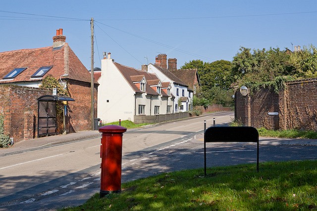
Image: © Peter Facey Taken: 26 Sep 2008
Bourne Lane (right). The narrow Berry Lane (left above pillar box) goes to the church. Vine Cottage (beyond bus stop). Pemberley (righthand white house).
Images are licensed for reuse under creativecommons.org/licenses/by-sa/2.0
Image Location
Latitude
51.023521
Longitude
-1.312996