Area for development. Exeter Business Park
Introduction
The photograph on this page of Area for development. Exeter Business Park by Derek Harper as part of the Geograph project.
The Geograph project started in 2005 with the aim of publishing, organising and preserving representative images for every square kilometre of Great Britain, Ireland and the Isle of Man.

There are currently over 7.5m images from over 14,400 individuals and you can help contribute to the project by visiting https://www.geograph.org.uk
Area for development. Exeter Business Park
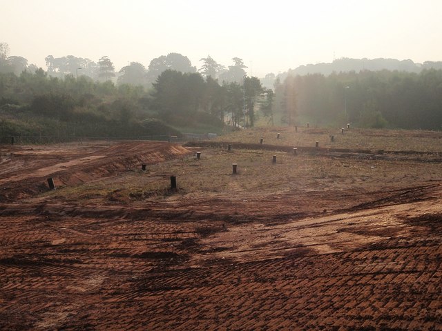
Image: © Derek Harper Taken: 26 Sep 2008
This particular area seems to have been awaiting development for at least two and a half years - see Image - although one new building has gone up off to the left of the camera. In the background are slip roads to and from the northbound carriageway of the M5 at junction 29.
Images are licensed for reuse under creativecommons.org/licenses/by-sa/2.0
Image Location
Latitude
50.730454
Longitude
-3.465745