Hamilton Avenue seen from High Park Avenue Wollaston
Introduction
The photograph on this page of Hamilton Avenue seen from High Park Avenue Wollaston by P L Chadwick as part of the Geograph project.
The Geograph project started in 2005 with the aim of publishing, organising and preserving representative images for every square kilometre of Great Britain, Ireland and the Isle of Man.

There are currently over 7.5m images from over 14,400 individuals and you can help contribute to the project by visiting https://www.geograph.org.uk
Hamilton Avenue seen from High Park Avenue Wollaston
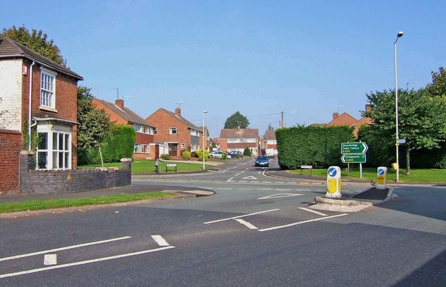
Image: © P L Chadwick Taken: 27 Sep 2008
Ahead is Hamilton Avenue, here seen from High Park Avenue. The road running across the centre is Bridgnorth Road which is the A458. To the left Bridgnorth is 13 miles away and to the right Stourbridge town centre is 1 mile away.
Images are licensed for reuse under creativecommons.org/licenses/by-sa/2.0
Image Location
Latitude
52.46031
Longitude
-2.166411