Glen Shee FBM
Introduction
The photograph on this page of Glen Shee FBM by Richard Webb as part of the Geograph project.
The Geograph project started in 2005 with the aim of publishing, organising and preserving representative images for every square kilometre of Great Britain, Ireland and the Isle of Man.

There are currently over 7.5m images from over 14,400 individuals and you can help contribute to the project by visiting https://www.geograph.org.uk
Glen Shee FBM
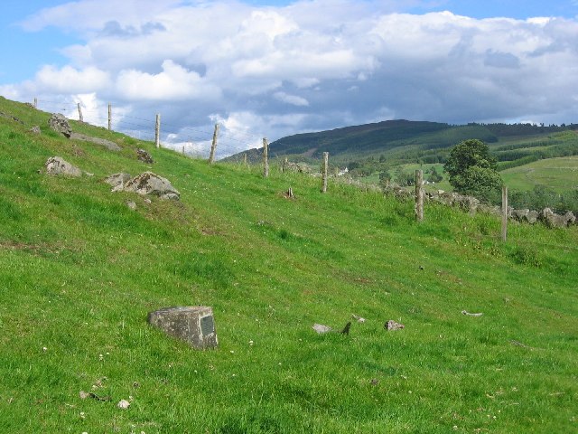
Image: © Richard Webb Taken: 18 Jul 2004
In a field of boulders, a concrete block. This is part of the survey of Britain. The height of this block is known to great precision and connected to it are a series of levels all of known height. Benchmarks are to height, what trigpoints are to the other two dimensions. FBM: Fundamental Bench Mark.
Images are licensed for reuse under creativecommons.org/licenses/by-sa/2.0
Image Location


Leaflet Map data © OpenStreetMap
Latitude
56.729345
Longitude
-3.406524