Perry Barr interchange
Introduction
The photograph on this page of Perry Barr interchange by Peter Whatley as part of the Geograph project.
The Geograph project started in 2005 with the aim of publishing, organising and preserving representative images for every square kilometre of Great Britain, Ireland and the Isle of Man.

There are currently over 7.5m images from over 14,400 individuals and you can help contribute to the project by visiting https://www.geograph.org.uk
Perry Barr interchange
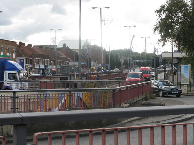
Image: © Peter Whatley Taken: 29 Sep 2008
The A34 disappears under the steel-encased roundabout, while local traffic tries to get to local shops which line the slip roads. Pedestrian routes are provided under the roundabout and at road level.
Images are licensed for reuse under creativecommons.org/licenses/by-sa/2.0
Image Location
Latitude
52.514147
Longitude
-1.902113