Red Route Slip Road
Introduction
The photograph on this page of Red Route Slip Road by Peter Whatley as part of the Geograph project.
The Geograph project started in 2005 with the aim of publishing, organising and preserving representative images for every square kilometre of Great Britain, Ireland and the Isle of Man.

There are currently over 7.5m images from over 14,400 individuals and you can help contribute to the project by visiting https://www.geograph.org.uk
Red Route Slip Road
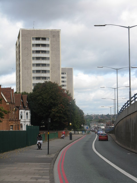
Image: © Peter Whatley Taken: 29 Sep 2008
Northbound access to the A34 expressway from Trinity Road. No parking on pain of death - or at least a large fine. Jan 2010 - many of the flats in the blocks of flats ahead are now boarded up, in advance of redevelopment.
Images are licensed for reuse under creativecommons.org/licenses/by-sa/2.0
Image Location
Latitude
52.510912
Longitude
-1.903741