House near Wigan's Farm, Bledlow Ridge
Introduction
The photograph on this page of House near Wigan's Farm, Bledlow Ridge by Graham Clutton as part of the Geograph project.
The Geograph project started in 2005 with the aim of publishing, organising and preserving representative images for every square kilometre of Great Britain, Ireland and the Isle of Man.

There are currently over 7.5m images from over 14,400 individuals and you can help contribute to the project by visiting https://www.geograph.org.uk
House near Wigan's Farm, Bledlow Ridge
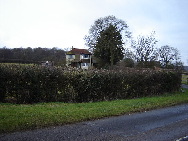
Image: © Graham Clutton Taken: 1 Jan 2006
Bledlow Ridge is a Ridge running roughly SE/NW up to the Chiltern Escarpment. This house is on the drive to Wigan's Farm on Wigan's Lane.
Images are licensed for reuse under creativecommons.org/licenses/by-sa/2.0
Image Location


Leaflet Map data © OpenStreetMap
Latitude
51.686109
Longitude
-0.868761