69-75, The Drive
Introduction
The photograph on this page of 69-75, The Drive by Simon Carey as part of the Geograph project.
The Geograph project started in 2005 with the aim of publishing, organising and preserving representative images for every square kilometre of Great Britain, Ireland and the Isle of Man.

There are currently over 7.5m images from over 14,400 individuals and you can help contribute to the project by visiting https://www.geograph.org.uk
69-75, The Drive
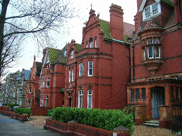
Image: © Simon Carey Taken: 1 Jan 2006
Late nineteenth century terracotta mansions with a touch of gothic built for the great and good of the era. Nowadays, like most top end Victorian buildings in this area, they have been subdivided into flats. The less fortunate have been demolished altogether and replaced by more modern faceless apartment blocks. The Drive is the B2185 that runs from the seafront to the A270 Old Shoreham Road. These houses are south of the crossroads with the B2120 Cromwell Road on the west side of the road. This view looks south.
Images are licensed for reuse under creativecommons.org/licenses/by-sa/2.0
Image Location
Latitude
50.831946
Longitude
-0.168145